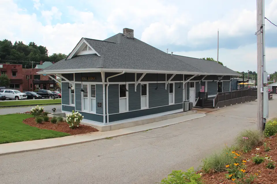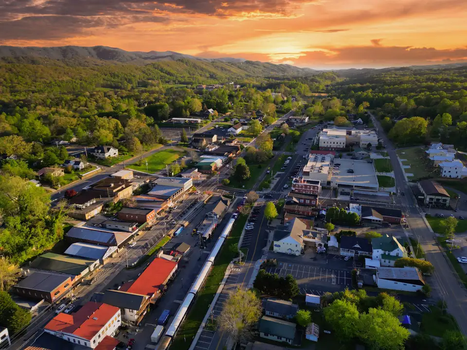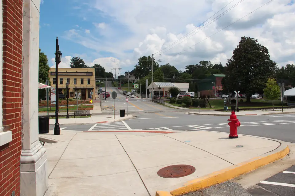
Every public parking option in downtown Blue Ridge, Georgia is within about 5 minutes on foot of the train depot, measured along OpenStreetMap streets at about 3 mph. The lots differ more on the ends of town: the City lot off Mountain Street is about 4 minutes from the East Main shops but about 11 from The Art Center, while the Trackside Station garage is the reverse. These are measured times; we did not walk them.
How these minutes were measured
We drew the walking network from OpenStreetMap: every street, footway and service road in the downtown frame, downloaded on October 17, 2026. Each place joins the network at its nearest point, with that short straight “doorstep” leg added to the total. Distances are summed along the street segments, and minutes are metres divided by 80, about 3 mph, rounded, with a minimum of 1 minute.
What that leaves out: hills, crosswalk waits, a train parked across a crossing, festival crowds and the time it takes to find a space. No one from this guide walked these routes with a stopwatch, so read the numbers as a fair comparison between lots, not a promise. For the two Main Street rows we measure from one pin on each block; a space at the far end of a block will be farther or closer.
Lot by lot: the depot first
The railway says parking downtown is limited and there are paid lots near the depot. Here is every public option we have a source for, closest first:
| Lot | Street distance to the depot | On foot |
|---|---|---|
| Accessible spaces at the depot (East Main corner) | 97 m | 1 min |
| East Main Street spaces (3-hour) | 223 m | 3 min |
| Trackside Station garage | 371 m | 5 min |
| City lot off Mountain Street | 401 m | 5 min |
| West Main Street spaces (3-hour) | 404 m | 5 min |
| City Hall lot | 434 m | 5 min |
| Farmers Market lot, 787 Summit St (festival shuttle lot) | 1268 m | 16 min |
The accessible spaces are the railway-listed handicap spaces at the corner of East Main Street in front of the depot. Everything else downtown is 3 to 5 minutes out, which is short enough that the time limit, not the walk, should decide where you park. The Farmers Market lot is the exception at about 16 minutes; it is a festival shuttle lot, and no everyday parking rule is published for it. Our train-day parking article works through which spaces cover a 2-hour or 4-hour ride.
Every lot to every end of downtown
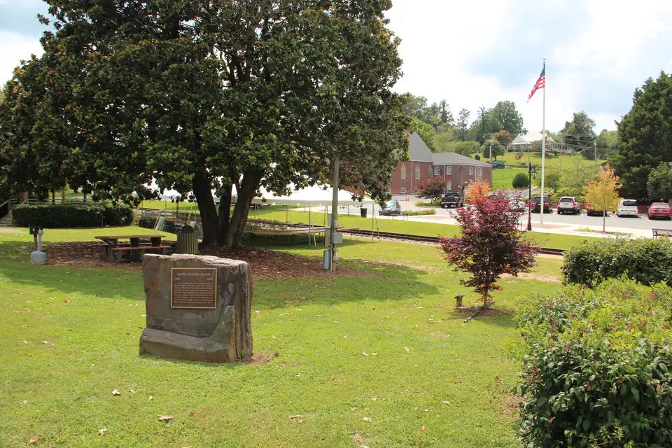
Downtown runs along the railroad, with East Main and West Main on either side of the tracks and the depot and downtown park between them. We picked six destinations that cover the strip: the depot, a shop on East Main, a restaurant on West Main, the park’s playground corner at East Main and Church, The Art Center in the old courthouse at 420 West Main, and the public restrooms at the Downtown Visitor Center (282 West Main).
| From | Depot | East Main (Out of the Blue, 647 E Main) | West Main (The General Ledger, 260 W Main) | Park at E Main and Church | The Art Center | Visitor Center restrooms |
|---|---|---|---|---|---|---|
| Accessible spaces at the depot (East Main corner) | 1 min | 3 min | 1 min | 4 min | 6 min | 1 min |
| East Main Street spaces (3-hour) | 3 min | 1 min | 4 min | 7 min | 9 min | 4 min |
| West Main Street spaces (3-hour) | 5 min | 7 min | 3 min | 6 min | 8 min | 4 min |
| Trackside Station garage | 5 min | 7 min | 3 min | 4 min | 4 min | 3 min |
| City lot off Mountain Street | 5 min | 4 min | 6 min | 9 min | 11 min | 7 min |
| City Hall lot | 5 min | 7 min | 4 min | 7 min | 7 min | 4 min |
| Farmers Market lot, 787 Summit St (festival shuttle lot) | 16 min | 18 min | 16 min | 14 min | 14 min | 15 min |
What the table says
The City lot off Mountain Street: best for the north end of East Main
The City lists this lot at $10 a day, or $20 on festival and event days (from a sheet captured in May 2024; not confirmed for 2026). It is about 4 minutes from Out of the Blue and about 2 from Harvest on Main, and 4 Elements Art is about 20 metres away. It is the far end for The Art Center, about 11 minutes, and for the park, about 9. The 2022 downtown map showed restrooms at this lot.
Trackside Station garage: best for the park and The Art Center
The garage at 322 West Main Street is entered from West First Street and is paid; the arts association lists it but publishes no rate. It is about 4 minutes from The Art Center, 4 from the park and 3 from the visitor center restrooms, which makes it the closest paid option on festival weekends in the park. Out of the Blue on East Main is about 7 minutes away.
City Hall lot: the West First Street side
The City sheet lists the City Hall lot at 480 West First Street as free, except for $20 a day on festival and event days. It sits about 5 minutes from the depot, 4 from The General Ledger and 7 from The Art Center. 34th Degree Wine Merchant on Depot Street is about 3 minutes away.
Main Street spaces: close, but timed
The City sheet limits East Main between Church and Mountain streets and West Main between Depot and Mountain streets to three hours, 8 a.m. to 5 p.m., free. From our pins, East Main is about 3 minutes from the depot and West Main about 5. West Main’s spaces facing the tracks are for cars and small SUVs only.
Then and now: the 2022 map
The parking map the railway and the City still link to is a March 2022 Blue Ridge Business Association map. Its key marks limited-time, free unlimited-time, City paid, private paid, business-owner and employee, and handicap parking, but it gives no distances or rates. On that map, the Main Street blocks past Church Street are marked free unlimited-time parking and the one City paid lot sits beside the tracks just past Mountain Street. Those blocks are not on our walking table because no current source confirms them; if you park there, check the signs.
Privately owned lots are left out of the tables: their owners set their own rates, and we have no sourced list of them to pin. The Farmers Market lot is in the tables because festival organizers name it as a shuttle lot; on those days, ride the shuttle rather than walk the 14 minutes to the park. See festival-day parking.
Use the numbers
For fees, time limits and the park-and-walk picker, start at downtown parking. To string stops together with walking times between them, use Plan Your Day, and for a self-guided route past the old courthouse and the depot, the historic walking tour. Riding the train? The scenic railway from downtown covers boarding and accessibility.
Questions people ask
How far is parking from the Blue Ridge train depot?
Every public option downtown is within about 5 minutes on foot of the depot at 241 Depot Street, measured along OpenStreetMap streets at about 3 mph; the railway's accessible spaces in front of the depot are about 1 minute away.
Source: Blue Ridge Railway, checked Oct 17, 2026
Is there a parking garage in downtown Blue Ridge?
Yes. The Trackside Station garage at 322 West Main Street, entered from West First Street, is paid parking; the arts association lists it, but no rate is published. It is about 4 minutes on foot from The Art Center by our measurement.
Source: Blue Ridge Mountains Arts Association, checked Oct 17, 2026
Is there a parking map for downtown Blue Ridge?
The map the railway and the City link to is a March 2022 Blue Ridge Business Association map that marks limited-time, free, City paid, private paid, employee and handicap parking, without distances or rates.
Source: 2022 parking map, checked Oct 17, 2026
Written by the Blue Ridge Downtown Editorial Team. AI tools help us draft; people check every fact before it publishes.